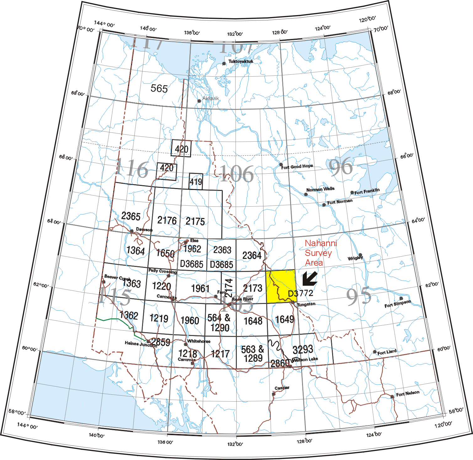
Fig. 1. Map of Yukon Territory showing survey area (in yellow) and current GSC open file numbers for geochemical data releases. Coverage consists of stream sediment and water surveys except for GSC Open File 2860 (NTS 105A, Watson Lake) which is a lake sediment and water survey.