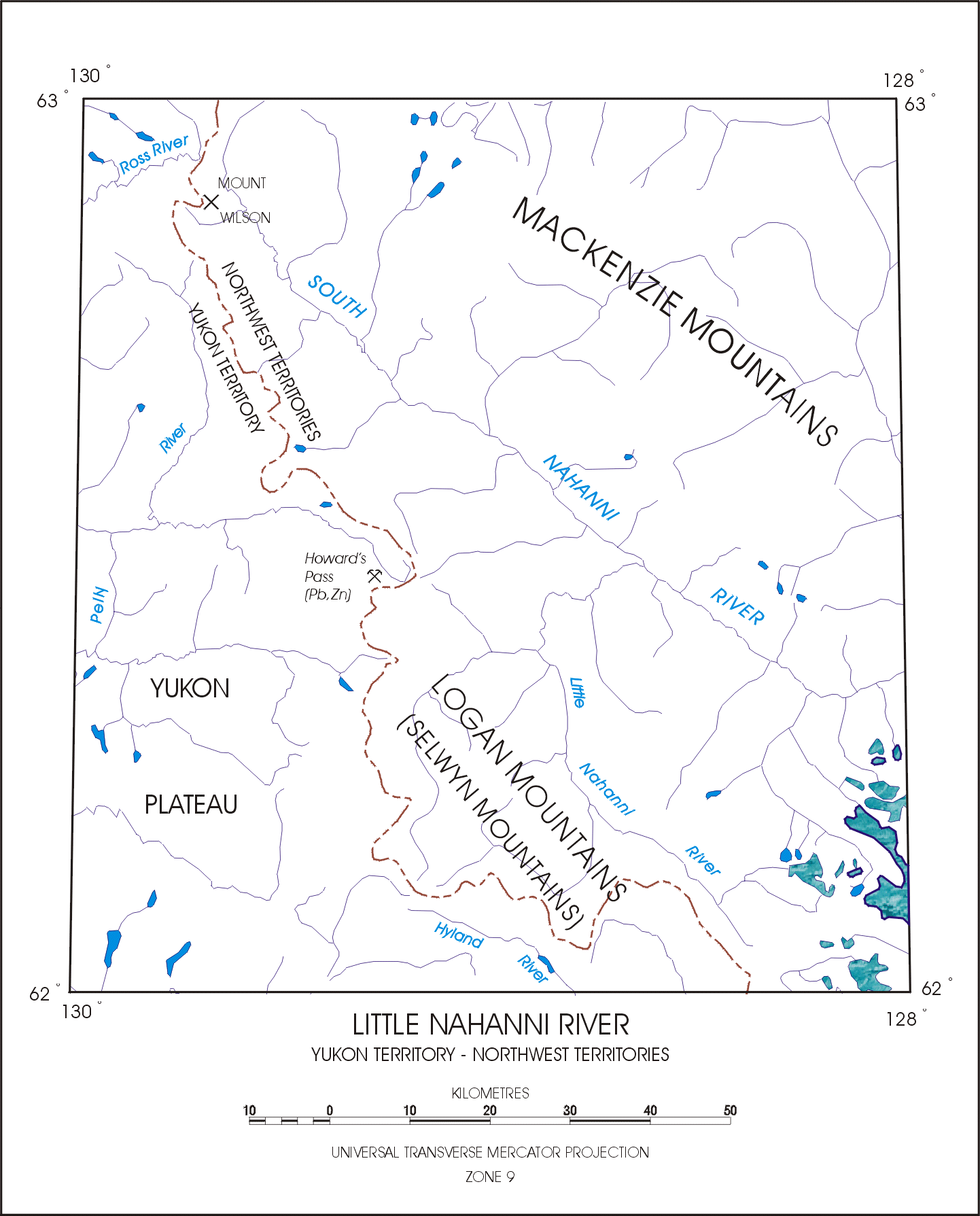
Fig. 2. Map of survey area (NTS 105I) showing major rivers and geographic features. Areas of textured blue in the southeast indicate glacier cover.