Atlas Contents
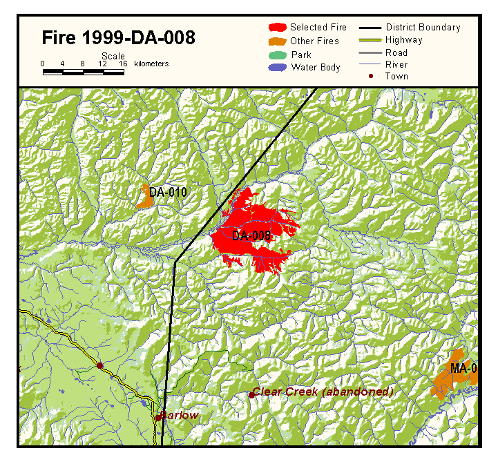
Fire: DA-008
Year: 1999
Start Date: 12 June 1999
District: Mayo
Latitude: 64.13ḞN
Longitude: 139.39ḞW
Cause: Lightning
Action: None
Zone: Observation
Class: G
Area: 13687.40 hectares
Perimeter: 279.4 kilometres
Note: This fire burned in the Mayo district, but was recorded in Dawson and appears in the tables and statistics under Dawson.